top of page

Search


Sobreiros e azinheiras no Algarve, em 1900s e 1950s
A possibilidade de trabalhar sobre informação recolhida no intuito da preparação e publicação da Carta Agrícola e Florestal de Portugal na d

Nuno de Santos Loureiro
Feb 22, 2019
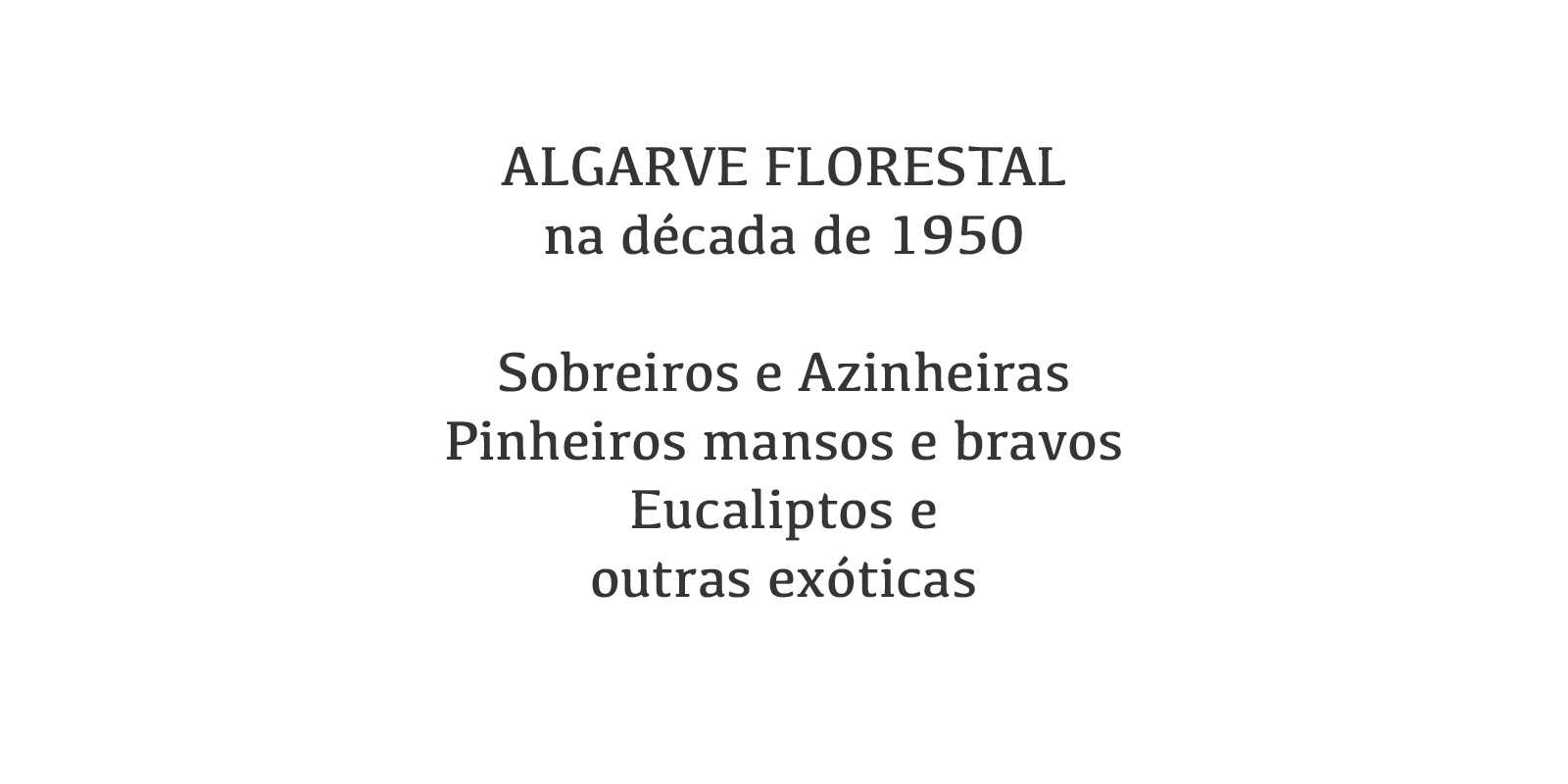
Algarve Florestal na década de 1950
Ficou muito recentemente concluída uma tarefa que se estendeu por cerca de seis meses: a digitalização, georreferenciação e vectorização do
Nuno de Santos Loureiro
Nov 7, 2018


Drone ao serviço da cartografia na Ria Formosa
Em Maio de 2017 comecei a colaborar com a APA | ARH do Algarve (Agência Portuguesa do Ambiente) para a actualização do cadastro dos viveiros
Nuno de Santos Loureiro
Aug 14, 2018
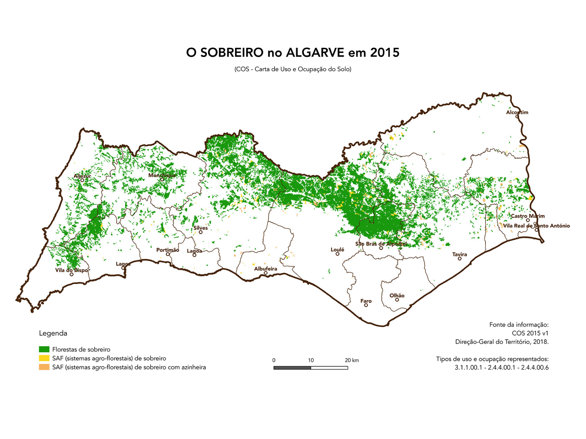
Algarve florestal e agro-florestal em 2015
Sobreiros, pinheiros bravos e mansos, eucaliptos e azinheiras são actualmente as espécies florestais mais importantes no Algarve. De acordo
Nuno de Santos Loureiro
Jul 24, 2018


COS 2015
Foi apresentada ontem em Lisboa, numa sessão pública que decorreu na Direção-Geral do Território, a Carta de Uso e Ocupação do Solo de Portu
Nuno de Santos Loureiro
Jul 6, 2018


Carta de Ocupação do Solo para o Algarve
A COS 2010 v1 para o Algarve disponibilizada pela DGT apresenta 39031 polígonos e 170 classes diferentes na sua legenda. Como a legenda é hi
Nuno de Santos Loureiro
Nov 24, 2017


Landsat 8 e o Algarve: the next step
Num primeiro post sobre as possibilidades de utilização dos produtos Landsat 8 com vista a uma mais detalhada caracterização da região algar
Nuno de Santos Loureiro
Aug 6, 2016


Guiné-Bissau by Landsat 8
O objectivo do exercício é simples. Criar um único GeoTIFF (*.tif) da Guiné-Bissau (Guinea Bissau - GNB) a partir de um mosaico de imagens d
Nuno de Santos Loureiro
Jul 19, 2016


O Algarve visto pelo Landsat 8
O Landsat 8 é o mais recente satélite de observação planetária que integra o programa americano Landsat. Foi lançado em Fevereiro de 2013 e
Nuno de Santos Loureiro
Jun 7, 2016
BLOG | Nuno de Santos Loureiro
bottom of page